nb. a permit is required to fly over a threatened species like bittern regardless of land ownership.
Detecting nests using thermal drones
Under the careful guidance of Department of Conservation (Te Papa Atawhai, DOC) monitoring Bittern using drones has been underway for some time.
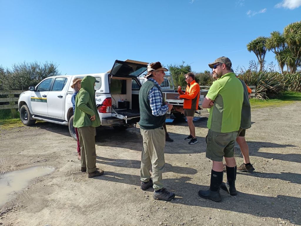
We anticipate a DOC protocol to be published in the near future to help enable drone operators and build capability and capacity.
Pro’s and cons of drone operations
Drone operations can be expensive, time consuming and when using thermal cameras, are limited in time (need to be conducted at first light, cooler days to get enough contrast between heat of a bittern/nest and the air temperature).
In addition to this drone operations are not always possible (because of aviation fly zones), inclimate weather or vegetation that insulates the bittern from being able to be detected (eg. thick raupo).
On the upside, drones can cover more area, difficult terrain and when coupled with thermal imaging provide more comprehensive results than ground searching.
We dont advocate for ground searches or going into our wetlands because it can lead predators, both ground based mammalian predators and or native avian predators(harriers) to nesting sites.
Our program Where the future sits supports drone operations, in that it can help to pre-qualify nesting sites for further possible investigation.
